Better Bathurst – Built Form and Land Use Study
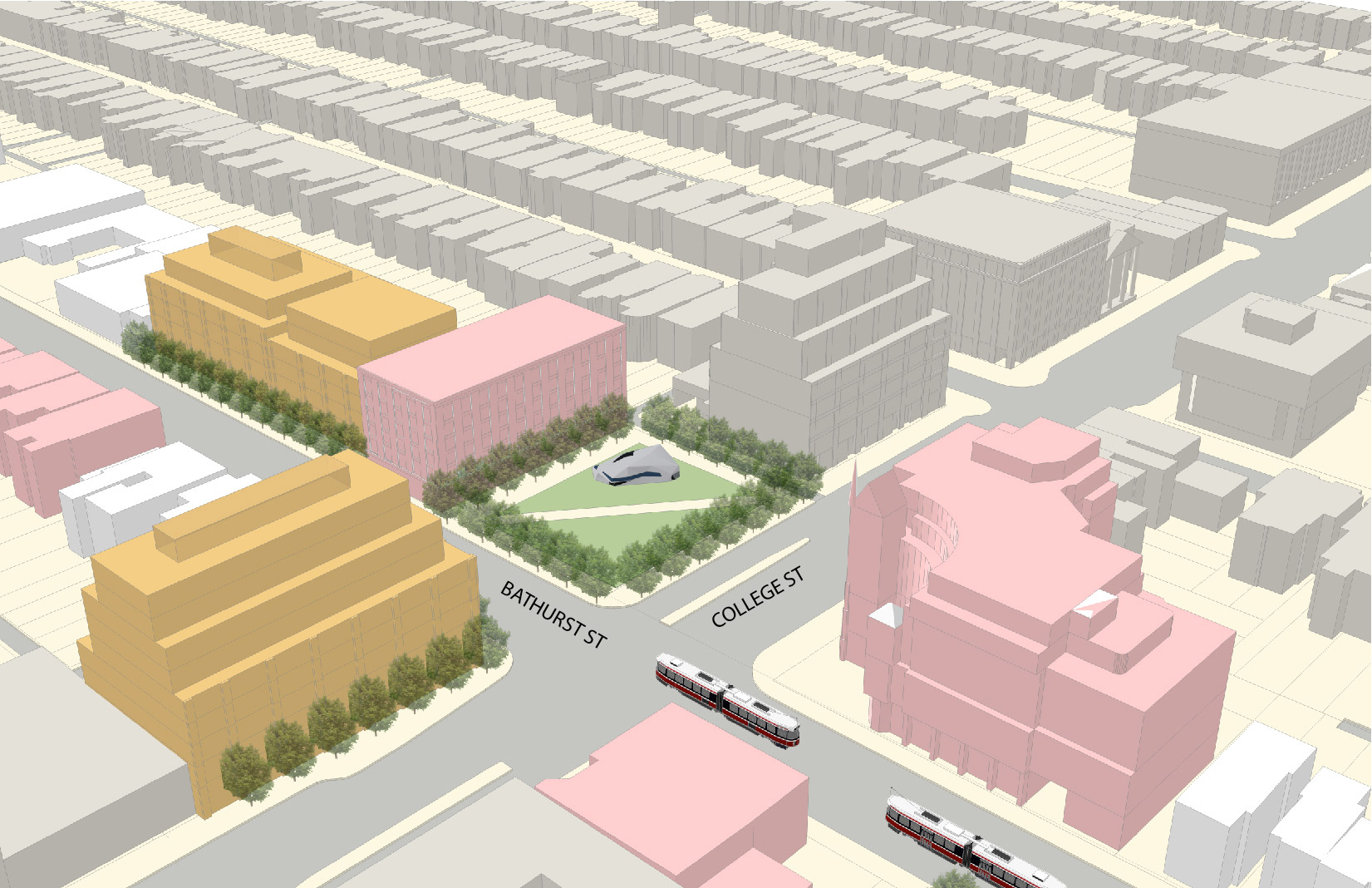
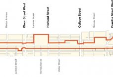
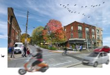
As part of a consulting team lead by DTAH, R.E. Millward + Associates was retained by the City of Toronto to provide planning policy and land use expertise to the Bathurst Street Built Form and Land Use Study. The study addresses a 3 kilometer section of the Bathurst Street corridor extending from Dupont Street south to Queen Street West. The purpose of the study is to ensure a clear community vision for the corridor’s land use and built form and to identify public realm improvement projects. It also is intended to provide guidance to property owners proposing new developments and to inform City staff reviewing applications.
During the course of the study, R.E. Millward + Associates was actively involved in the consultation phase, the review of built form and land use options, and the preparation of final recommendations. A final report including recommended built form and policy actions was submitted to the City’s project team in early 2014.
Client:
City of Toronto – City Planning Division
Services:
Consultation and Facilitation, Policy and Development Implementation
Date:
2013 – 2014
Location:
Toronto


